


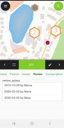

وصف لـ QField for QGIS
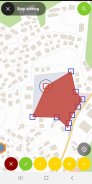
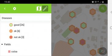
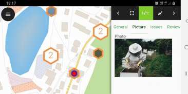
QField focuses on efficiently getting GIS fieldwork done.
The mobile GIS app from OPENGIS.ch combines a minimal design with sophisticated technology to get data from the field to the office in a comfortable and easy way.
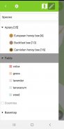
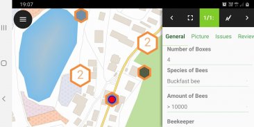
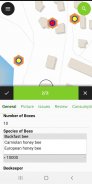
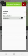
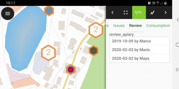
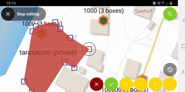
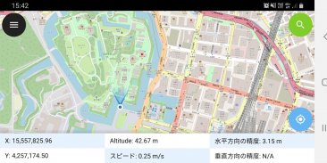
QField is built on top of the professional QGIS open source project, allowing users to setup maps and forms in QGIS on their workstation, and deploy those in the field through QField. Leveraging QGIS' data providers - OGR, GDAL, PostGIS, and more - QField supports a wide variety of vector and raster formats.
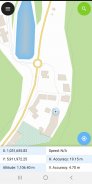
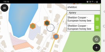
Datasets can be locally stored or accessed remotely and synchronized with WiFi, USB cable or mobile network.
OPENGIS.ch is happy to help you with the implementation of missing features. Contact us at http://www.opengis.ch/contact/
For bug reports please file an issue at https://qfield.org/issues
يركز QField على إنجاز عمل GIS الميداني بكفاءة.
يجمع تطبيق GIS المحمول من OPENGIS.ch بين الحد الأدنى من التصميم والتكنولوجيا المتطورة للحصول على البيانات من الميدان إلى المكتب بطريقة مريحة وسهلة.
تم بناء QField على رأس مشروع QGIS المفتوح المصدر المحترف ، مما يتيح للمستخدمين إعداد الخرائط والنماذج في QGIS على محطة العمل الخاصة بهم ، ونشر تلك الموجودة في الحقل من خلال QField. الاستفادة من مزودي بيانات QGIS - OGR ، GDAL ، PostGIS ، وأكثر من ذلك - يدعم QField مجموعة واسعة من تنسيقات المتجهات والنقطية.
يمكن تخزين مجموعات البيانات محليًا أو الوصول إليها عن بُعد ومزامنتها مع WiFi أو كبل USB أو شبكة للهاتف المحمول.
يسر OPENGIS.ch مساعدتك في تنفيذ الميزات المفقودة. الاتصال بنا على http://www.opengis.ch/contact/
بالنسبة إلى تقارير الأخطاء ، يُرجى تقديم مشكلة على https://qfield.org/issues

QField for QGIS - معلومات APK
نُسخة APK: 3.1.9 - Borneoالحزمة: ch.opengis.qfieldتطبيقات من الفئة نفسها
قد يعجبك أيضًا...


